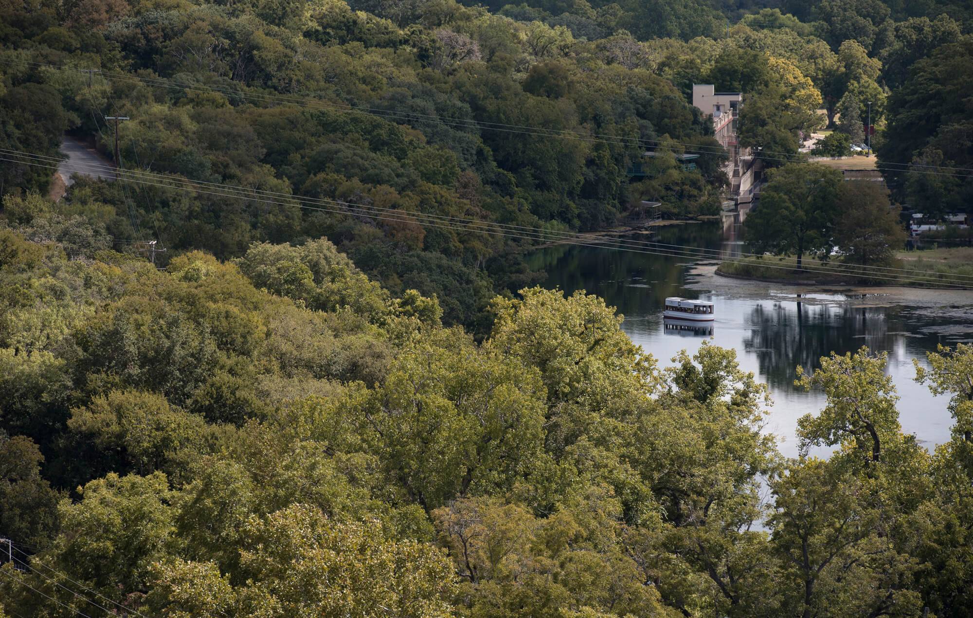
2014 Spring Lake Data Recovery Project
How and Why?
An Introduction to the 2014 Spring Lake Data Recovery Project
This website presents the findings of the Spring Lake Data Recovery Project (SLDR). The SLDR project encompasses the 2014 archaeological excavations at the Spring Lake Archaeological Site and subsequent analysis by the Center for Archaeological Studies. These archaeological investigations were funded by the City of San Marcos (City) and designed as an off-site mitigation project for impacts made to archaeological site 41HY261. Improvements by the City to storm water runoff culverts associated with the City’s Rio Vista Terrace Neighborhood Infrastructure Project adversely affected a portion of Site 41HY261. Because the storm water runoff culverts discharge into waters of the United States, the US Army Corps of Engineers (USACE) has oversight, which triggered compliance with Section 106 of National Historic Preservation Act. The infrastructure improvements also occurred on City property, which triggered compliance with the Antiquities Code of Texas. Based on available information, Site 41HY261 is eligible for inclusion in the National Register of Historic Places and as a State Antiquities Landmark. Because the site is significant, the USACE and Texas Historical Commission (THC) required the City to develop a plan that would mitigate the cumulative adverse effects to the site. In short, the City, in consultation with the USACE and THC, needed to offset the archaeological data that was lost as a result of the infrastructure project’s impacts to Site 41HY261. Learn more about archaeological site 41HY261.
Mitigation can take many different pathways, but generally involves excavating a portion of the impacted site to recover information that may otherwise be lost. However, direct mitigation within within the adversely effected area of site 41HY261 would have caused significant additional impacts to what remains of the site. Also, since the depth of the archaeological deposits at 41HY261 are poorly understood, an initial testing phase would have been needed making the overall cost of the project unaffordable. In response to these concerns, the City, USACE, THC, and Texas State University entered into a Memorandum of Agreement (MOA) for an alternative mitigation approach. This alternative mitigation led to the development of a plan to investigate a portion of the Spring Lake Site (41HY160) on the Texas State University campus. Site 41HY160 is a well-known site in Texas and has been the focus of several archaeological investigations over the past 30 years. Most importantly, Site 41HY160 includes archaeological materials and deposits that are contemporaneous to those at 41HY261, which means questions on past human lifeways that could have been addressed by excavations at 41HY261 could be addressed by excavations at 41HY160. The MOA led to a research design for the archaeological investigations at Site 41HY160 that included careful excavation, laboratory analysis of recovered materials, public education and outreach, curation of recovered materials, and ultimately this website to share the results of the investigations.
The Project’s research design sought to address three complementary research domains at 41HY160 in relation to what may have been learned at Site 41HY261. These included:
1) reconstructing site chronology and culture historical sequences;
2) understanding geoarchaeology and environmental data available from Spring Lake;
3) addressing the Calf Creek component that had been identified but not fully explored in previous excavations.
The overall objective of the proposed project is to understand the role of this site, and other sites like it, in regional settlement-subsistence economies that focused on riverine as well as terrestrial resources from the earliest times of human occupation. Our studies have focused specifically on the late-Early Archaic Calf Creek horizon. The results of this effort will add significantly to how archaeologists understand the prehistoric record of human occupation in the Upper San Marcos River Valley in particular and the south-central United States in general.
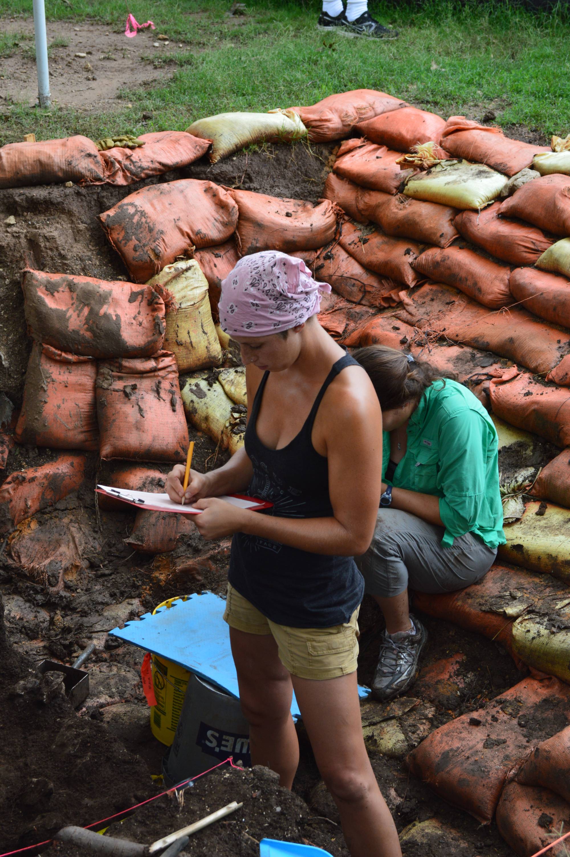
From June to October 2014, the Texas State University Center for Archaeological Studies (CAS) undertook the Project’s fieldwork component. The research design called for the excavation of 40 cubic meters of soil at Site 41HY160. The images below provide links to each branch of the analysis. The “Digging In” section of the website discusses the field methods and steps in undertaking such a large effort. The "All the Dirt" section covers the Geoarchaeology of Spring Lake, and how we study the soil and assign context to all the artifacts we recovered. Our excavations recovered over 230,000 artifacts! Learn more about the artifacts in the “What did we Find?” section, which gives an illustrated summary of these materials. Although impressive, the number of items recovered can be overwhelming for a website of this nature. So, we have separated the artifacts out into digestible sections that you can review at your own pace. The "What does it all Mean" will be a synthesis of all these data. Here we will offer our interpretations of the results as they relate to the above-described research design. We expect this page to be a work in progress as we continue our analyses on the volumes of data from our investigations.
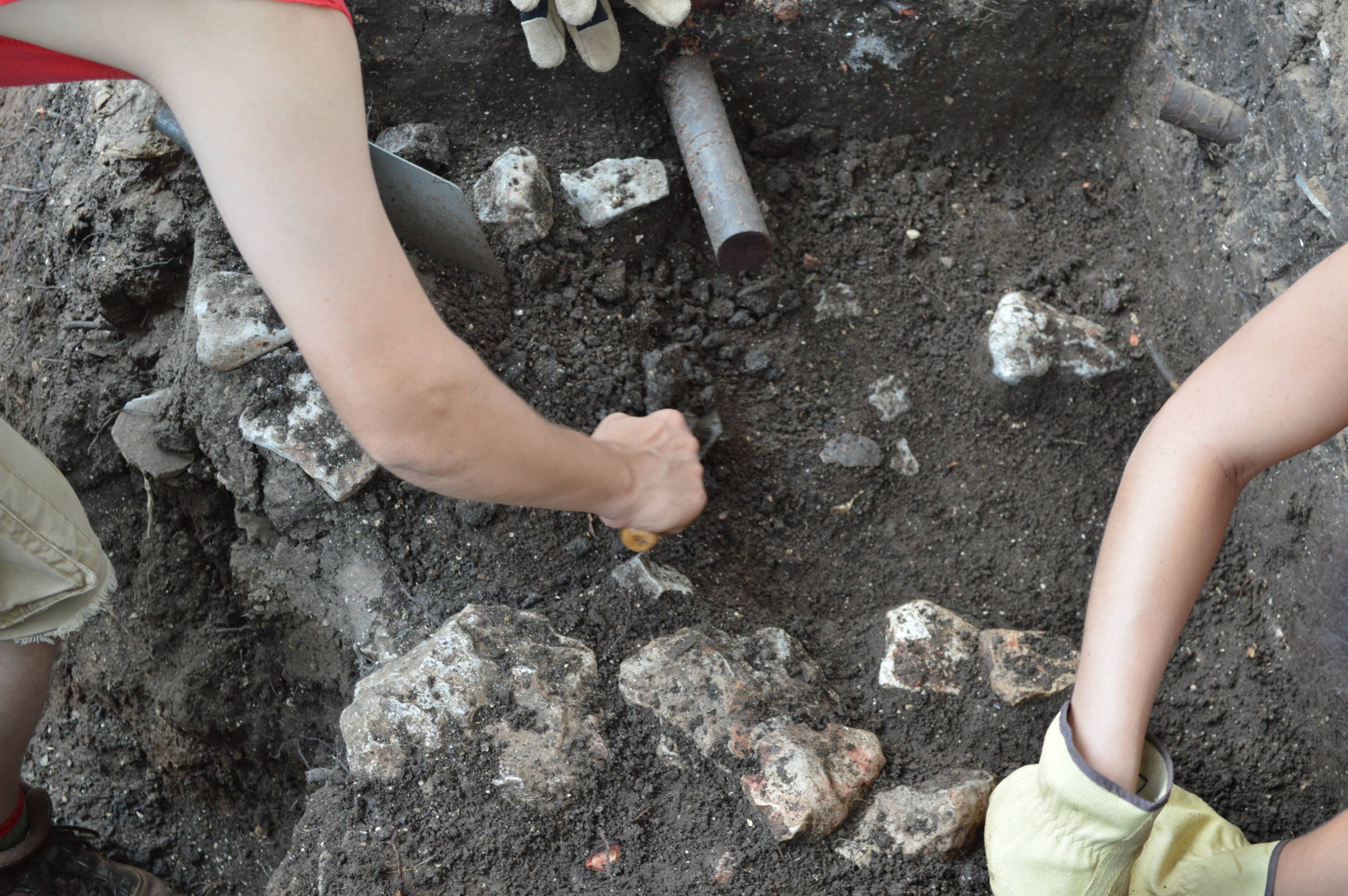
Digging In:
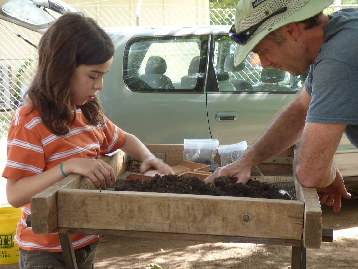
Before archaeologists can begin to dig, they have to know how they are going to dig. Will there be a large block of units, or just a few fairly isolated units? Will all of the digging be done by hand or will heavy machinery be needed? How will vertical controls be established and maintained? What kinds of tests do the archaeologists plan to run on the artifacts, and how do those plans affect the way the samples are collected? All of this is part of the methodology of an excavation. Click the image above to learn more about the planning stages and methods employed in the 2014 Spring Lake Data Recovery excavation.
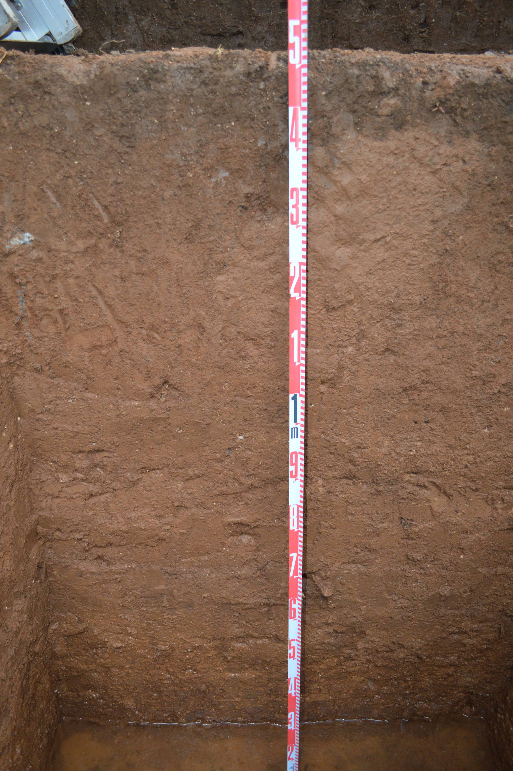
All the Dirt:
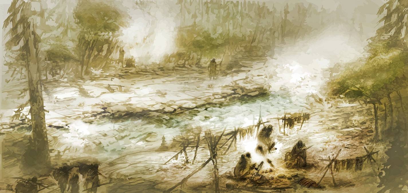
Many of the principles used by archaeologists are related to the principles of geological processes: stratigraphy, superposition, bioturbation, and erosion, to name just a few, play an important role in how archaeological sites form and are either preserved or destroyed by natural forces. Studying and explaining how these forces have interacted with the archaeological materials in a site is the work of a geoarchaeologist. Follow the link in the image above for an explanation of the geology of the Spring Lake Site and what it can tell us about the lives of aboriginal Texans.
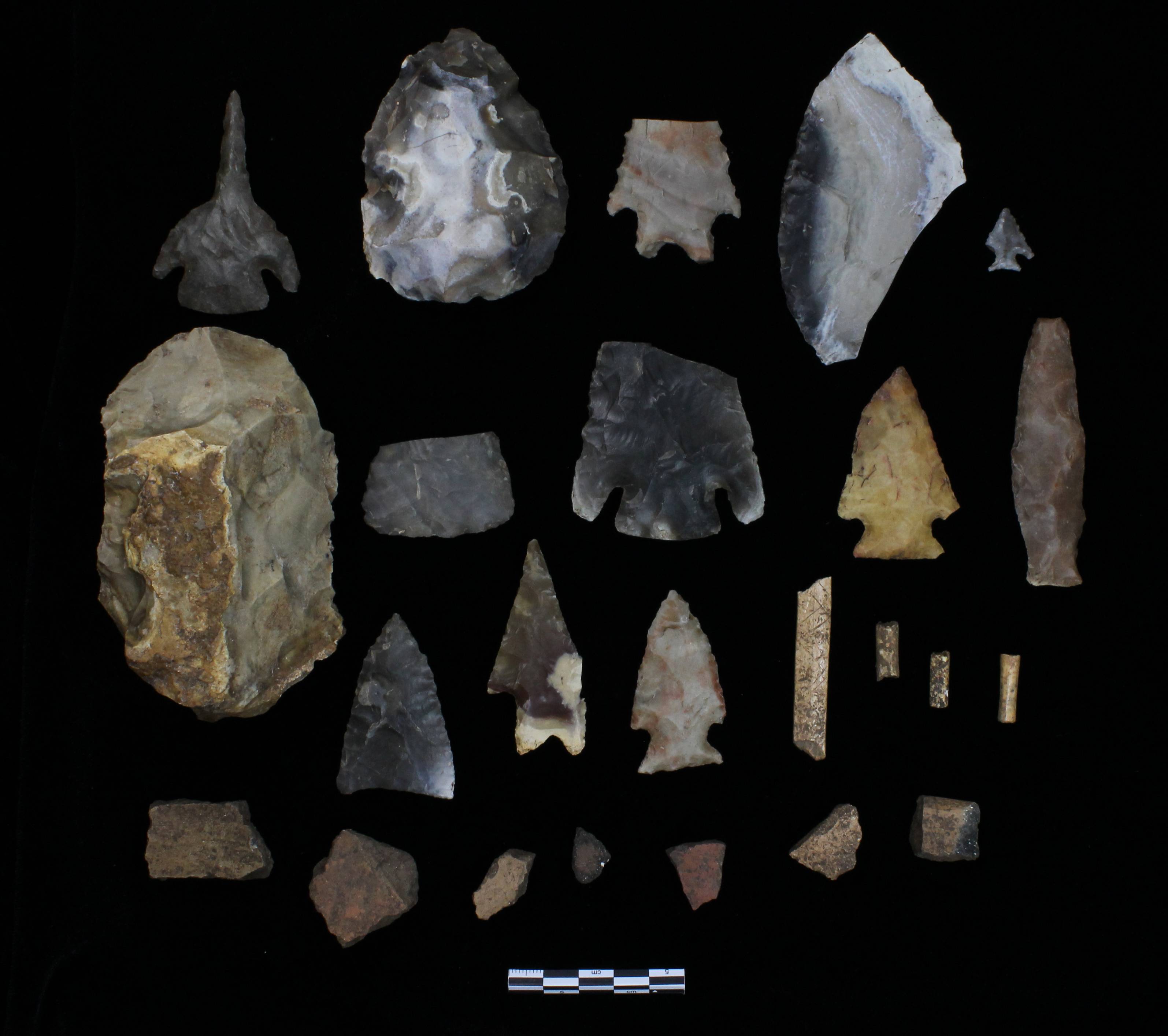
What Did We Find?
Thousands of artifacts were recovered during the Spring Lake Data Recovery Project. Stone artifacts (lithics), fire-cracked rock, modified bone, shell beads and aboriginal pottery are all part of the artifact inventory from this project. Overall, the SLDR assemblage reflects the material culture of Native American groups from the Paleoindian time period (approximately 10,200-8800 years ago) up to the Late Prehistoric time period (about 650-300 years before present.)
